Our Changing Watershed: Apology for Muskoka environment as written 76 years from now
"I want to apologize to you and your generation for leaving the planet in such a poor state." By Richard Lammers. To my dearest great-granddaughter, As we approach the turn…
Our Changing Watershed: Who are those climate scientists, and why should we believe them?
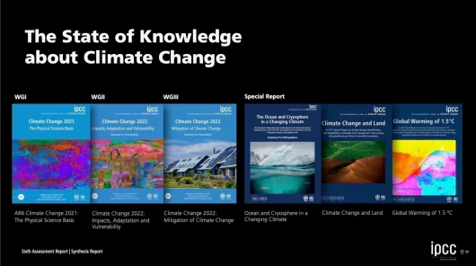
These folks are the world’s most credible voice on climate change. By Geoff Ross. I often hear, or read, sentiments that the Intergovernmental Panel on Climate Change (IPCC) consists of…
Our Changing Watershed: Let’s Stop Pretending Our Environment is Worthless
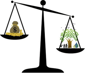
Part two of a two-part series. By Geoff Ross. Last week’s article described how our society has progressed from an inability to recognize the value of healthy ecosystems, to the…
Our Changing Watershed: Let’s Stop Pretending Our Environment is Worthless
Part one of a two-part series. By Geoff Ross. This week’s title will be shocking to those who understand that the environment is clearly worth a great deal. I agree. But…
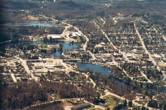
Our Changing Watershed: How well is our Muskoka environment doing?
In 2023, we see evidence of change according to report. By Peter Sale. Aerial photo of the Town of Huntsville. This summer, the Muskoka Watershed Council is releasing its 2023…

Our Changing Watershed: The evolution of the Muskoka Watershed Report Card
Reporting on the overall health of our watersheds. By Rebecca Willison. Muskoka Watershed Council (MWC) is set to release its sixth Muskoka Watershed Report Card this summer, the result of…
Our Changing Watershed: Think of your body as an ecosystem
We need to listen to what ecologists are telling us. By Geoff Ross. Last week, we provided an ecologist’s viewpoint of an ecosystem. You may have found that description complex,…
Our Changing Watershed: What is an Ecosystem?
Muskoka Watershed Council works to answer that question, which is easier to ask than to answer. By Aaron Rusak. Humans are very much part of the ecosystem – but our…
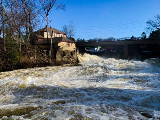
Our Changing Watershed: Is it Time to Give the Muskoka River Legal Rights?
Shifting the balance between us and the rest of nature. By Dr. Peter Sale. Birds Mill Dam in Bracebridge. Photo by Neil Hutchinson The Muskoka River Watershed is mostly in…
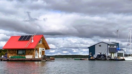
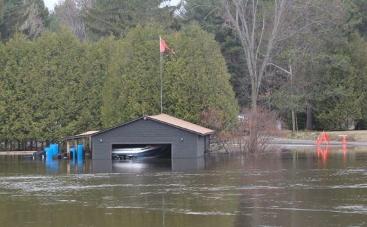
Our Changing Watershed: Living with Flood Waters
A floodplain is a risky area to build. By Dr. Neil Hutchinson. Floating home in Yellowknife Bay, N.W.T., where annual water level fluctuations are 20 to 40 centimetres and 1.5…
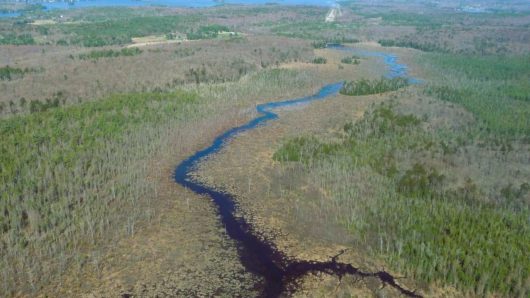
Our Changing Watershed: How Nature Works to Avoid Flooding in Muskoka
By Kevin Trimble. We often don’t think about floods until we see torrents of water roaring over our dams and waterfalls, down our big rivers, or raising water levels in…
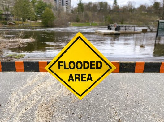
Our Changing Watershed: A Layman’s Guide to Spring Flooding in Muskoka
What happened in 2023? By Chris Cragg. The extreme spring flooding we saw in 2019 and 2013 does not happen every year. It only happens when a sequence of adverse…