Mapping Our Natural Heritage
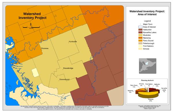
The Watershed Inventory Project assessed the Muskoka River and the northern portion of the Black-Simcoe tertiary watersheds, covering over 750,000 hectares of the Canadian Shield.
Funded by The Ontario Trillium Foundation, the Watershed Inventory Project was a collaborative effort of the Muskoka Heritage Foundation, Muskoka Watershed Council, the Ontario Ministry of Natural Resources (Parry Sound District) and The District Municipality of Muskoka. Additional funding and support for the aquatic component was received from Fisheries and Oceans Canada.
Completion of the Watershed Inventory Project was made possible with a grant from the ESRI Conservation Program to cover the cost of software.
The Muskoka Watershed Inventory identified significant natural areas and areas of the watershed that are degraded. The Inventory can be used to identify significant areas for protection or areas that would benefit from stewardship programs. The terrestrial component of the Watershed Inventory Project (WIP) was completed in 2007 and the aquatic component was completed in 2009.
The purpose of the Inventory was to identify ecologically significant areas using the best available datasets as well as to identify where there is a lack of existing protection for significant areas on both Crown and private land. It also identified whether or not these significant areas were connected across the landscape. The Inventory used a transparent, ecology-based methodology produced by the Nature Conservancy of Canada and the Ontario Ministry of Natural Resources, who are leaders in defining and conserving significant areas based on best available ecological principles.
The results of the Inventory can be used to support natural heritage planning, conservation, and restoration efforts to maintain and enhance a logical and continuous natural system.
Terrestrial Component
The Terrestrial Component of the Muskoka Watershed Inventory Project (WIP) was initiated in 2005 and completed in 2007. The purpose of the WIP was to identify ecologically significant areas within the Muskoka River Watershed using the best available datasets and further, to identify where there was a lack of existing protection for significant areas on both Crown and private land. It also identified whether or not these significant areas were connected across the landscape.
Aquatic Component
The Aquatic Component of the Muskoka Watershed Inventory Project (WIP) was initiated in 2007 and completed in 2009. The purpose of the WIP was to identify ecologically significant areas using the best available datasets as well as to identify where there is a lack of existing protection for significant areas on both Crown and private land. It also identified whether or not these significant areas are connected across the landscape.